UK weather – latest: Snow and ice warnings as Brits warned conditions ‘worse rather than better’
Saturday and Sunday slapped with fresh set of alerts for snow and ice
Britain has been warned of more snow and ice this weekend after temperatures plummeted to -10C overnight.
Conditions are “actually going to get worse rather than better”, said Andrew Page-Dove of the National Highways, as there is risk of freezing rain on the roads after Storm Larisa.
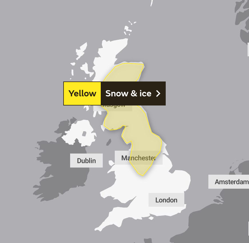
The Met Office has issued yellow warnings for snow and ice which cover large swathes of the country.
Met Office meteorologist Matthew Box said rain, sleet and snow will push northeast across the country during the weekend, likely falling on the hills and mountains of the Pennines, the Cumbrian vales and some parts of Scotland.
But added snowfall would be “nothing to the same extent as what we saw on Thursday”.
It comes after persistent snowfall caused “absolute carnage” on the M62 trans-Pennine motorway on Friday.
Storm Larisa brought with it “treacherous conditions”, with 50mph winds and up to 40cm of snow forecast in some areas.


Hope Valley line closed due to weather conditions
Network Rail said it hopes two Peak District rail routes blocked by snow will reopen between 3pm and 6pm.
The closure of the Hope Valley line means no trains are running between Manchester and Sheffield.
There are no services between Buxton and Hazel Grove due to the Buxton line being blocked.
Ross Davies, Network Rail’s North West route head of control, said: “As expected substantial snowfall hit the Pennines overnight and our teams are out fighting against the elements to get trains moving on our higher routes through the Peak District.
“I’d like to thank passengers for their patience while we make the Hope Valley and Buxton lines safe for trains to run and ask people to keep checking National Rail Enquiries for the latest travel information so they aren’t caught out in the cold.”
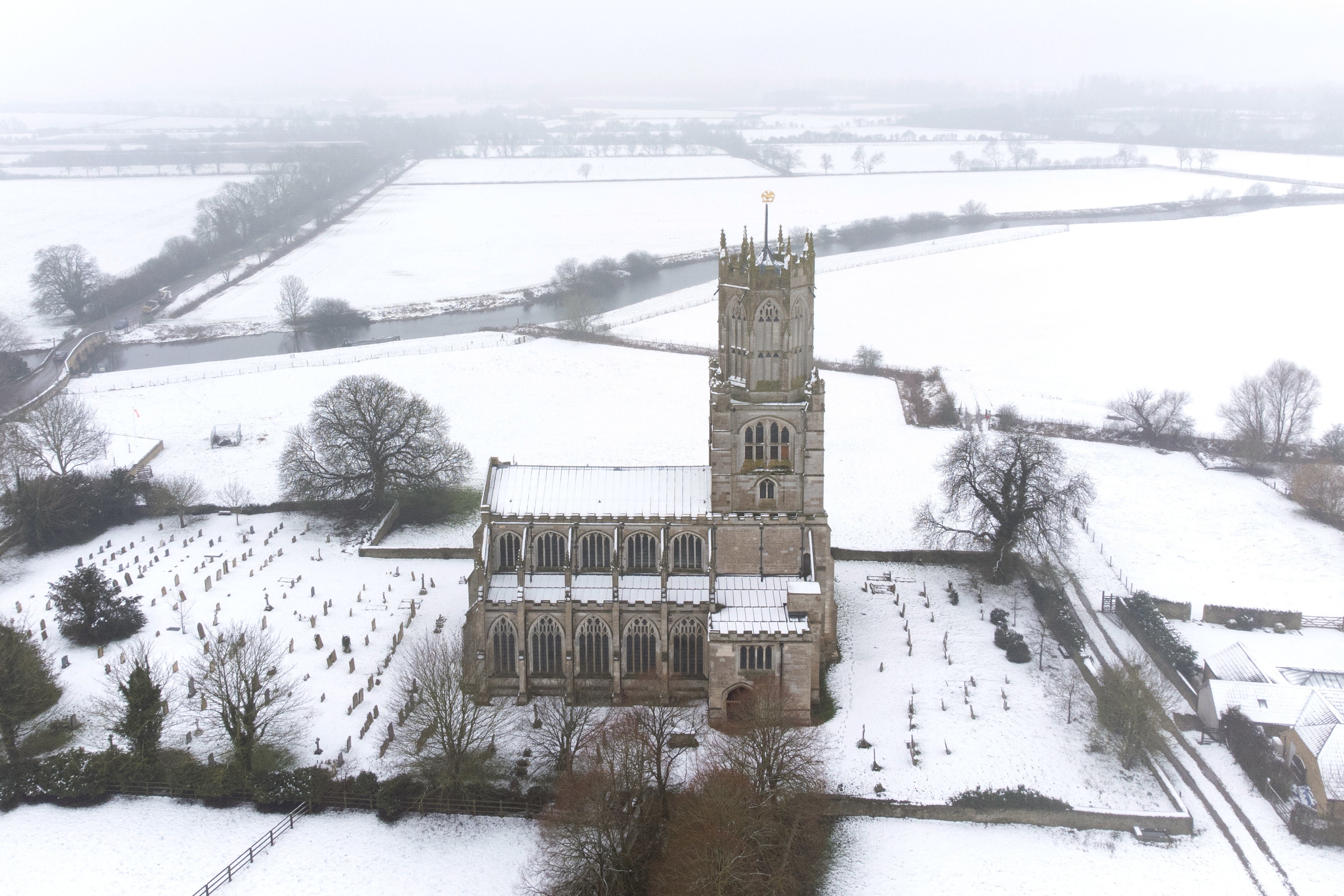
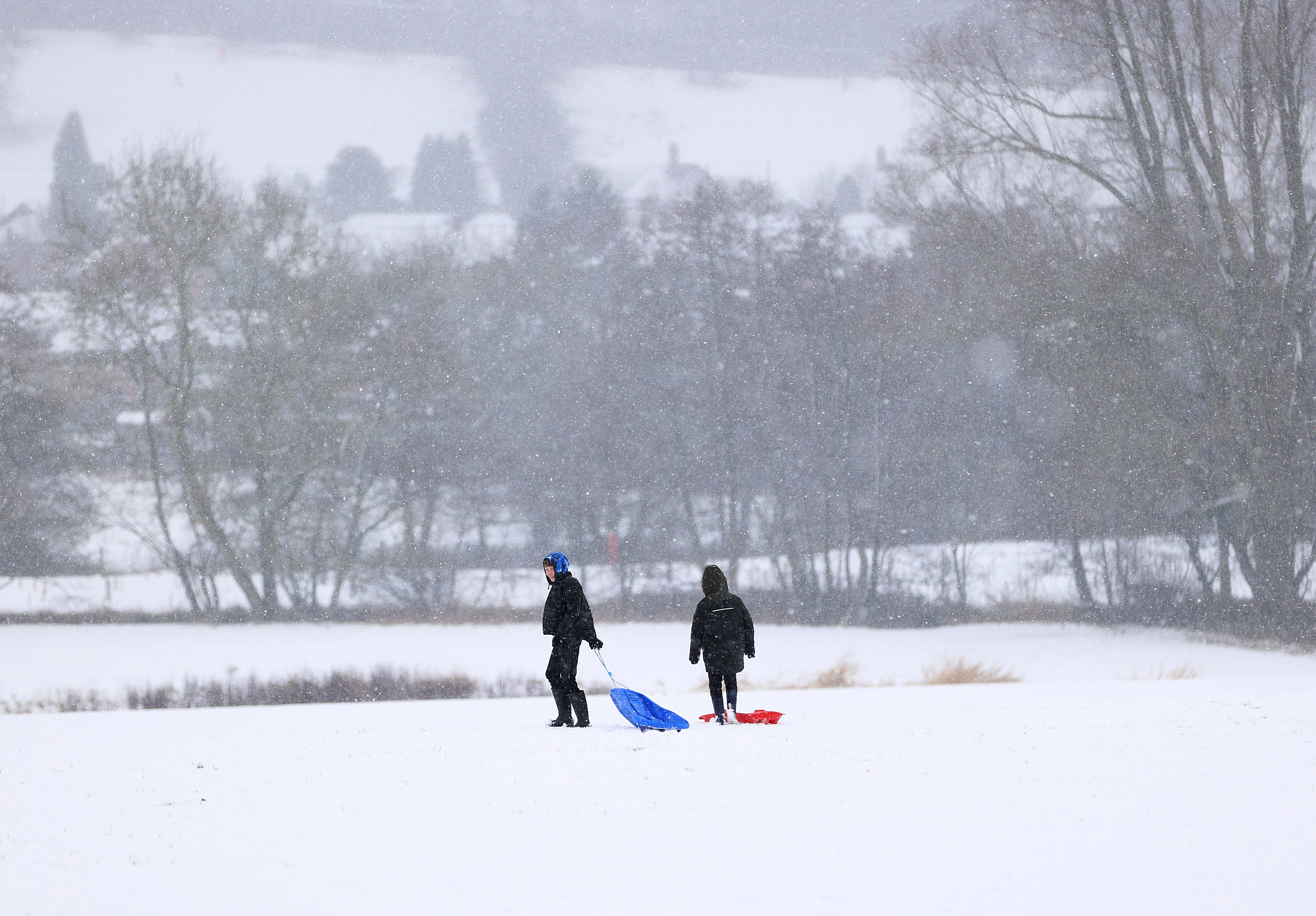
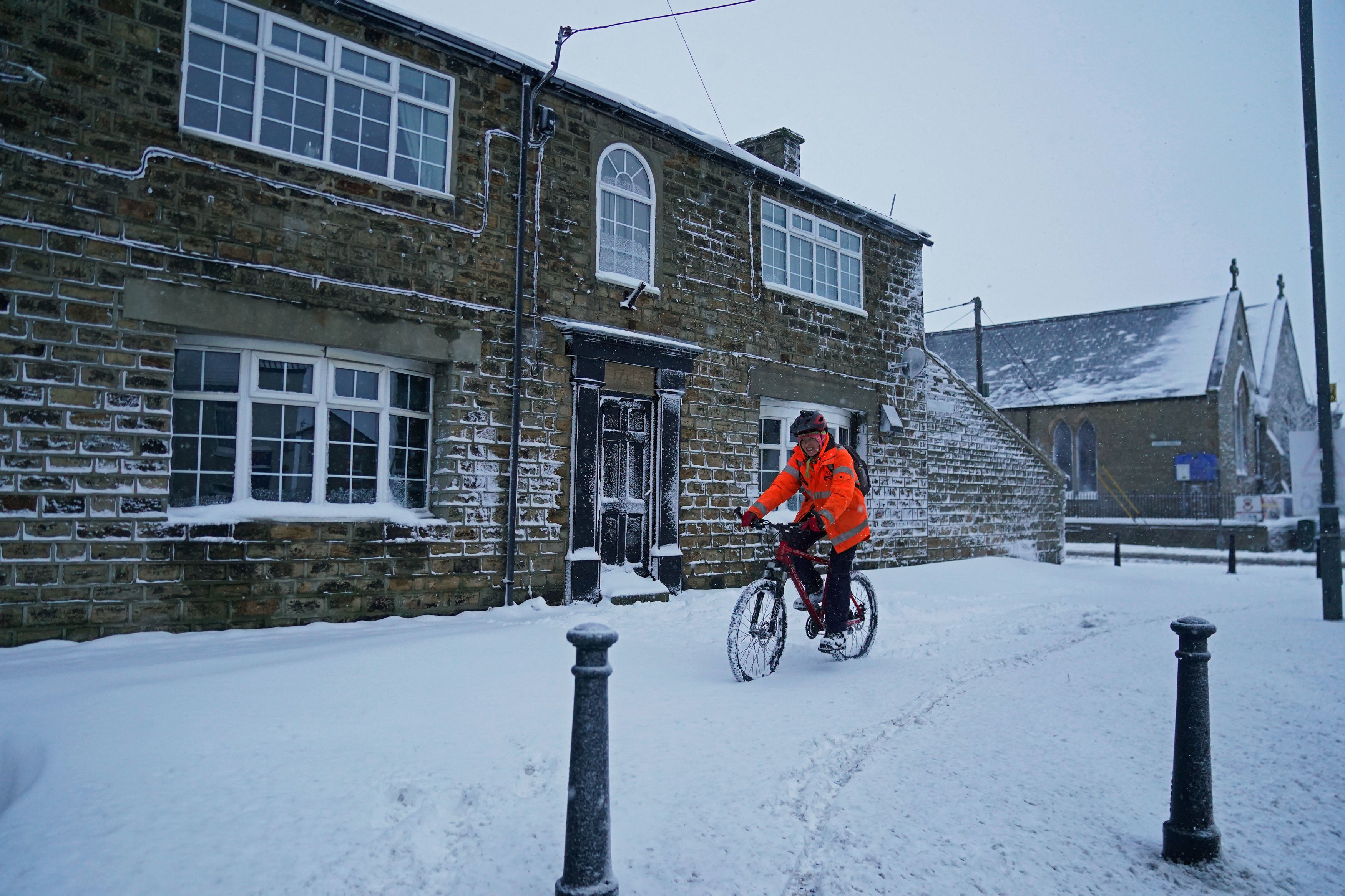
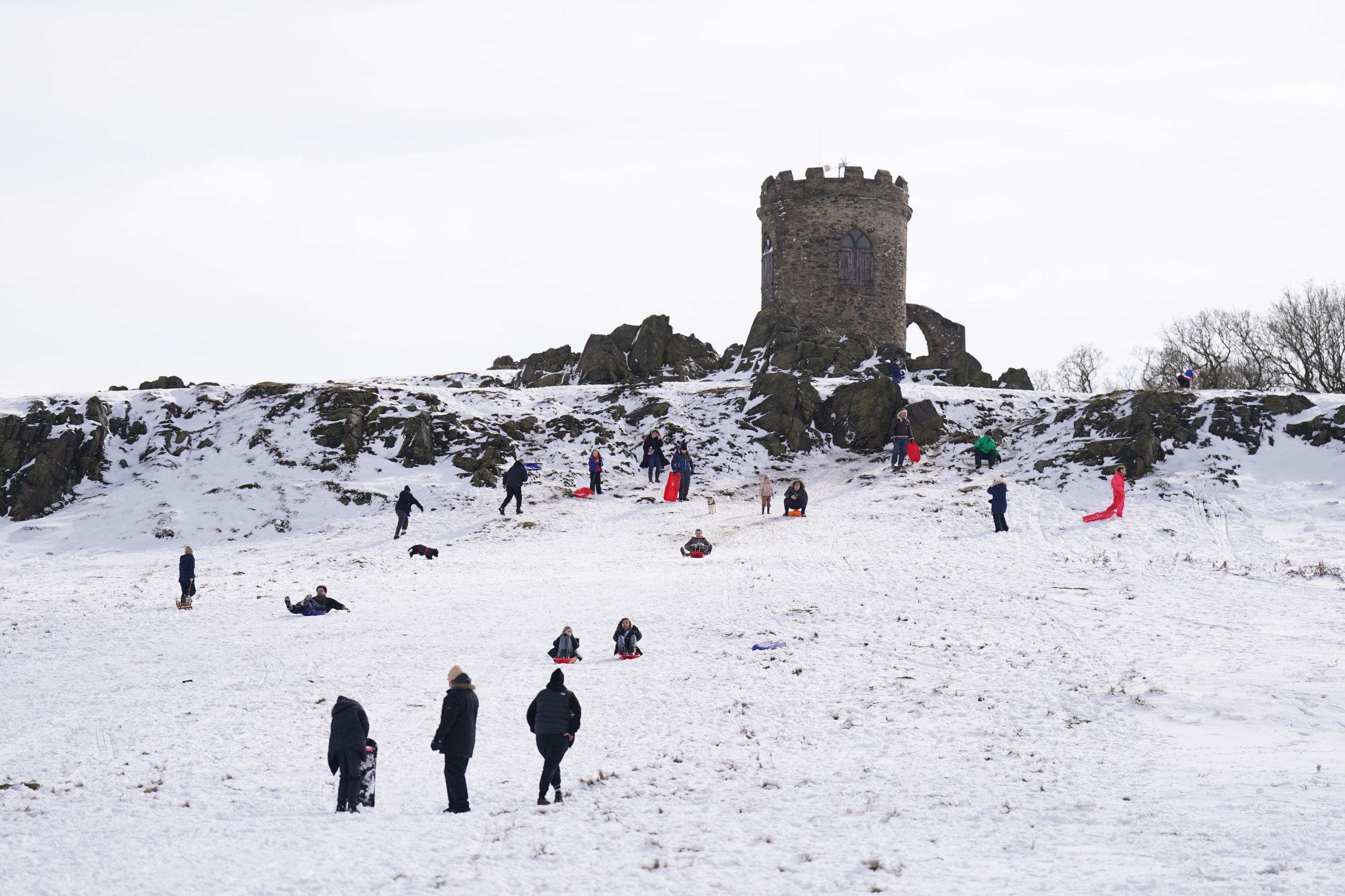
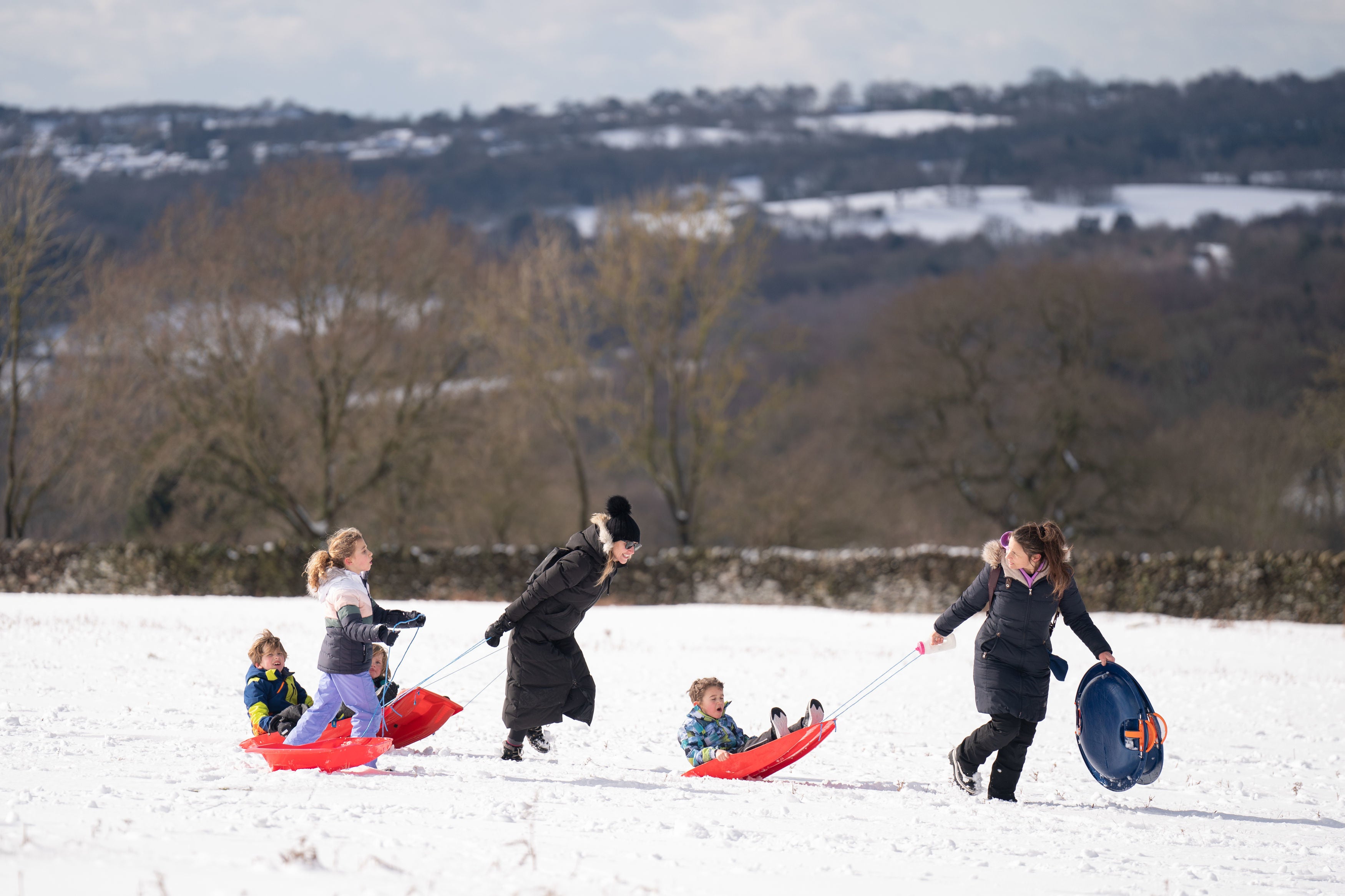
Latest images as snow continues to fall across UK
Worst of snowfall in England over for now, says Met Office
Much of the UK will receive a brief respite from the current wintry conditions over the weekend, but a return to colder temperatures is likely for many early next week, the Met Office has said.
“The worst of the snowfall in England is over for now, but further weather warnings will be in force to cover the further hazards brought by frost and ice,” said chief forecaster Jason Kelly.
“During the early hours of Saturday a weather front will bring warmer air in from the South West to extend across most parts of the UK during Sunday,” he added. “As we have seen over the last few days, the influence of this warm and moist air from the South West will bump into the cold air bringing a risk of further snowfall on the leading edge for a time.
“However, it will also bring heavy rainfall for many as it moves across the UK. This could bring transient snow for an hour or two to areas like Northern Ireland and North Wales before extending into the higher elevations of northern England and Scotland.”
Return to colder conditions likely next week
Early next week, a broad pattern is emerging which is likely to see a return to colder conditions during late Monday and early Tuesday, although with less certainty in the details, the Met Office has said.
Deputy chief forecaster Daniel Rudman said: “There is an increasingly strong signal for colder air to once again feed into the north of the UK during Monday. This flow is likely to extend southwards with much of the UK likely to be under the influence of colder conditions overnight into Tuesday.
“Tuesday is set to remain a cold day, but it is not expected to be as cold as conditions have been this week, and there will be brighter periods for most. There are likely to be some showers too, although any snow fall is expected be over higher elevations.”
Later in the week, a weather system is forecast to bring milder conditions in from the west. This system will bring further rain, especially to areas of higher ground in the west of the UK, although still with the risk of another period of snow for the north, the national forecaster said.
How to drive in snow and ice
The current heavy snow across the UK means drivers are facing icy roads and treacherous conditions.
The gritters are out but motorists are still being advised against making unnecessary journeys and to proceed with extreme caution when setting out proves unavoidable.
Joe Sommerlad has more:

Watch: Heavy snow coats Dublin mountains as hazardous conditions hit Ireland
Snow warnings extended to weekend as travel ‘chaos’ set to continue
Today’s travel “chaos” looks set to continue into the weekend as new warnings for snow and ice have been issued by forecasters.
Friday’s conditions are expected to clear by the end of the day before being replaced by another low pressure system, leading to further yellow alerts for much of northern England and Scotland from 3pm on Saturday to 6am on Sunday.
In an update, the Met Office warned of more delays to travel, public transport cancellations, possible injuries from slips and falls on icy surfaces, and power cuts.
Saturday:
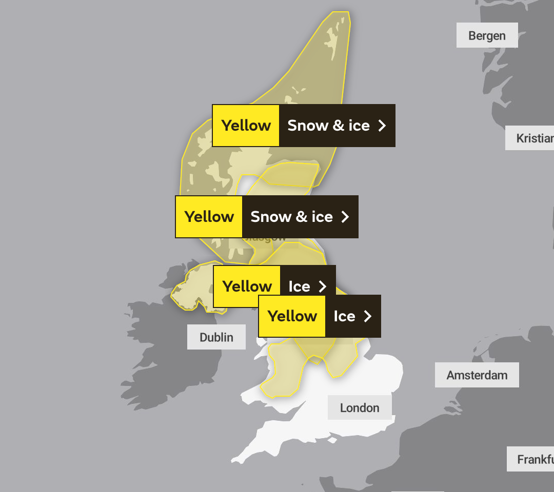
Sunday:

Join our commenting forum
Join thought-provoking conversations, follow other Independent readers and see their replies
Comments