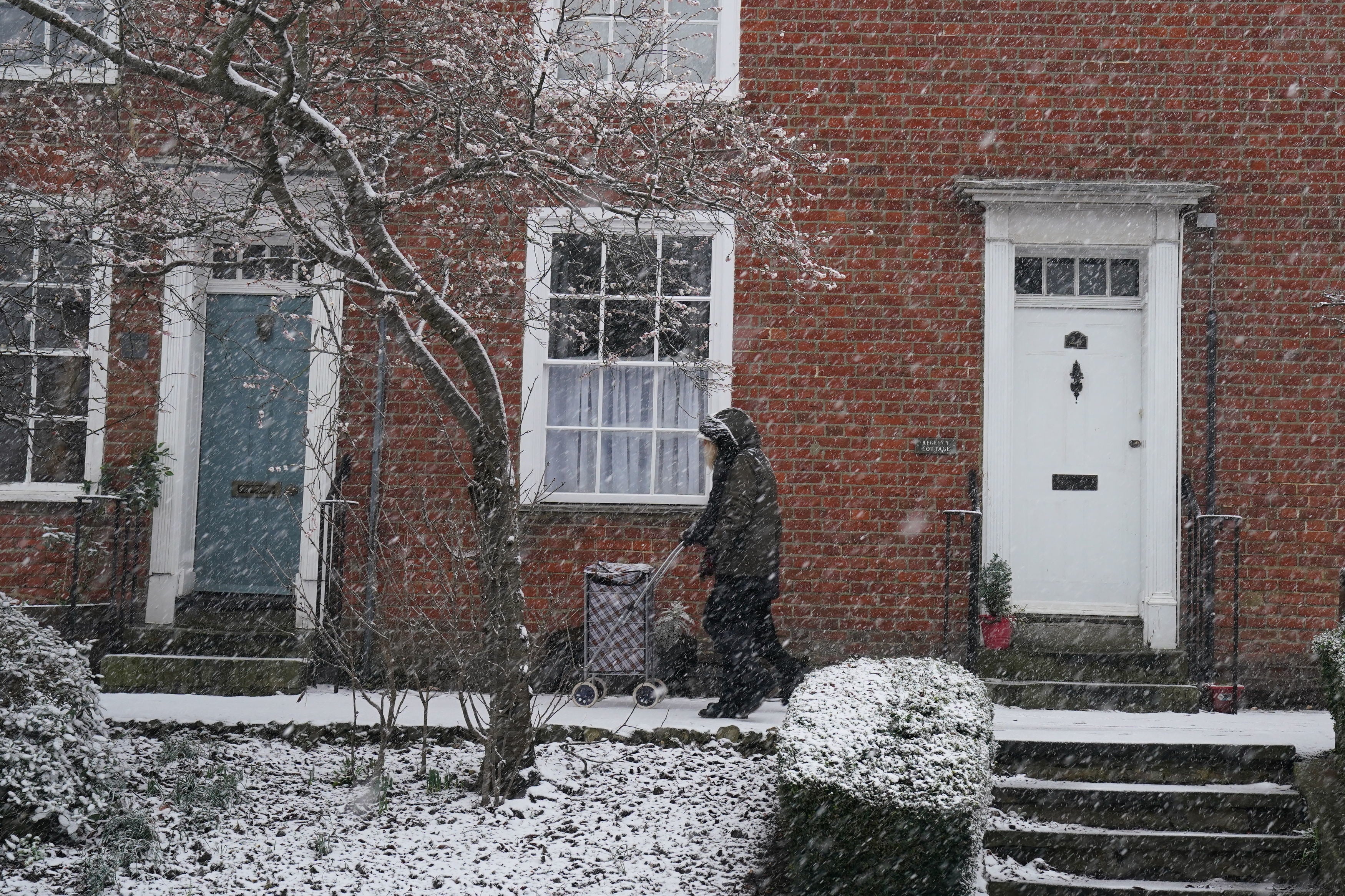
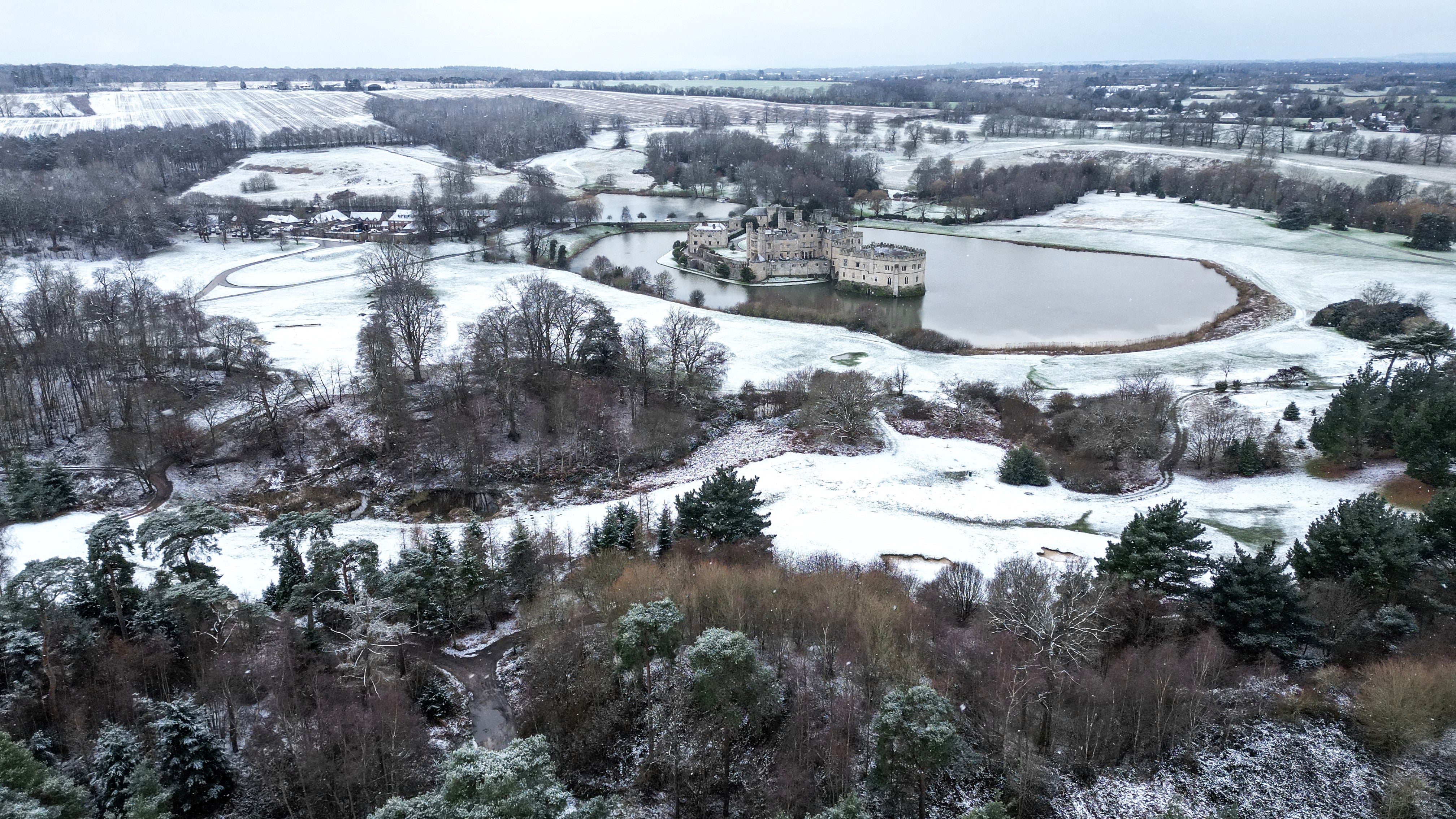
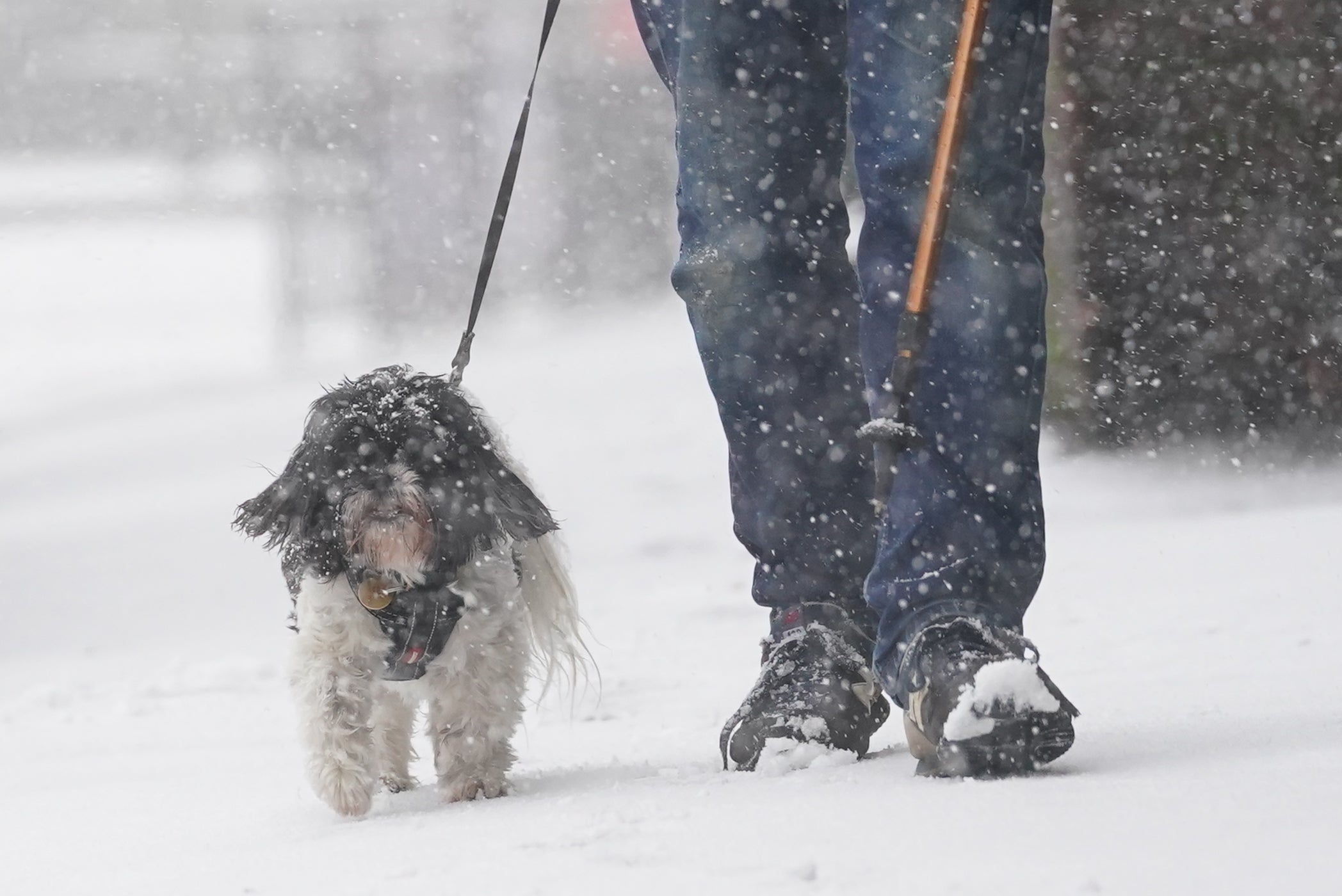
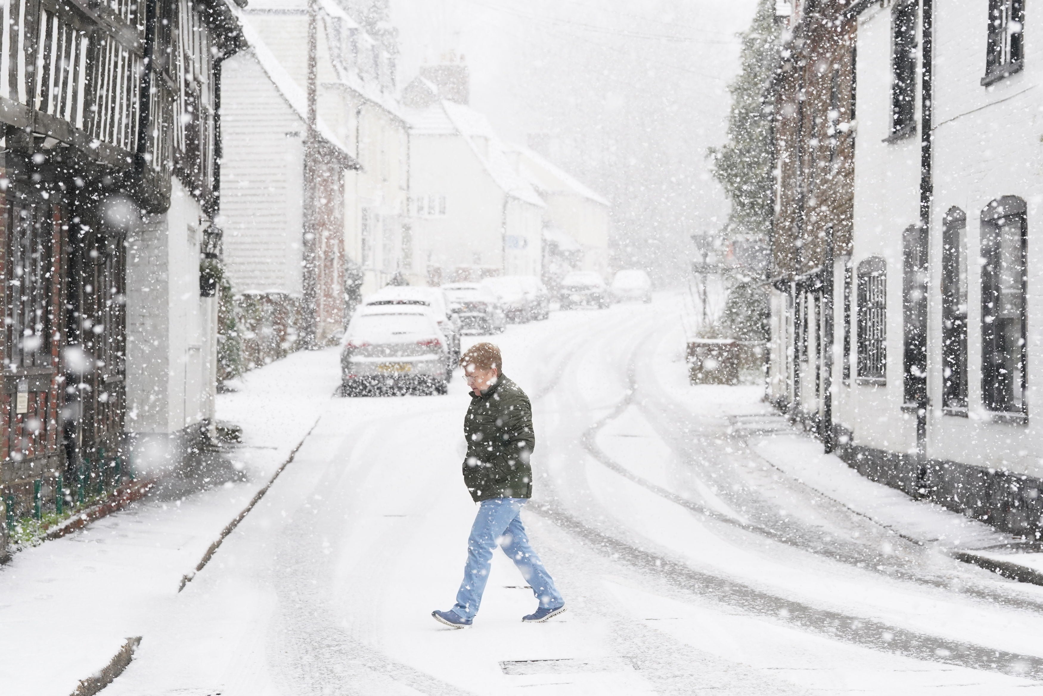
Snow blankets parts of UK with temperatures set to plunge to -9C
Flurries of snow and sleet have hit London and the South East
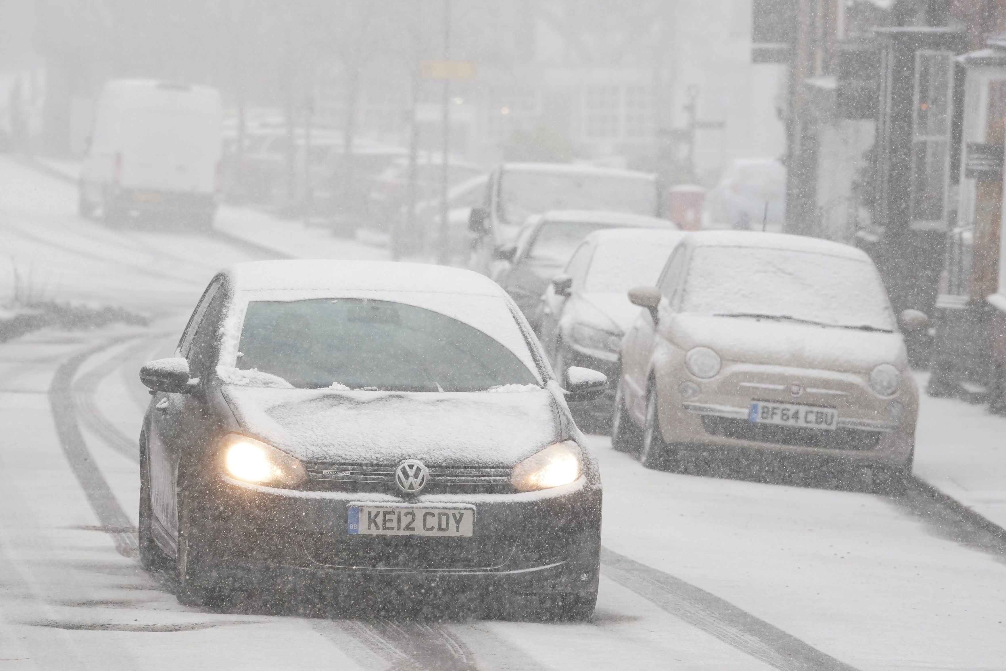
Snow fell in parts of the UK on Monday as the country prepares for a week-long cold snap with temperatures expected to plunge as low as -9C.
Flurries of snow and sleet were seen in London and wider South East as the Met Office issued a yellow warning for ice across southern England and South Wales.
Temperatures are expected to be around zero in places throughout the UK for much of the week but could get to -4C in some parts of England and Wales, and as low as -9C in rural Scotland, the Met Office said.
Met Office chief forecaster Paul Gunderson said: “High pressure is dominating our weather, sitting up to the North East. That will bring a real chill across the South but also bring in some snow showers across southern areas of England and south Wales.
“Settling snow will be mainly confined to high ground at first, and most parts will see very little, but small accumulations are possible from late afternoon and through the first half of the night.”
An amber cold health alert (CHA) for the North West of England, the Midlands, the South West of England and the South East of England is also in place through to noon on Friday.
The amber alert, issued by the UK Health Security Agency (UKHSA) and the Met Office, means “cold weather impacts are likely to be felt across the whole health service for an extended period of time”.
There is also a yellow cold health alert in place for the North East of England, Yorkshire and the Humber, the East of England and London.
Cold weather can raise the risk of heart attacks, strokes and chest infections, and is particularly dangerous for the elderly and people with underlying health conditions.
Dr Agostinho Sousa, head of extreme events and health protection at UKHSA, said: “With the Met Office forecasting drops in temperature across the United Kingdom into next week, it is important to check in on the wellbeing of those most vulnerable to the cold.”
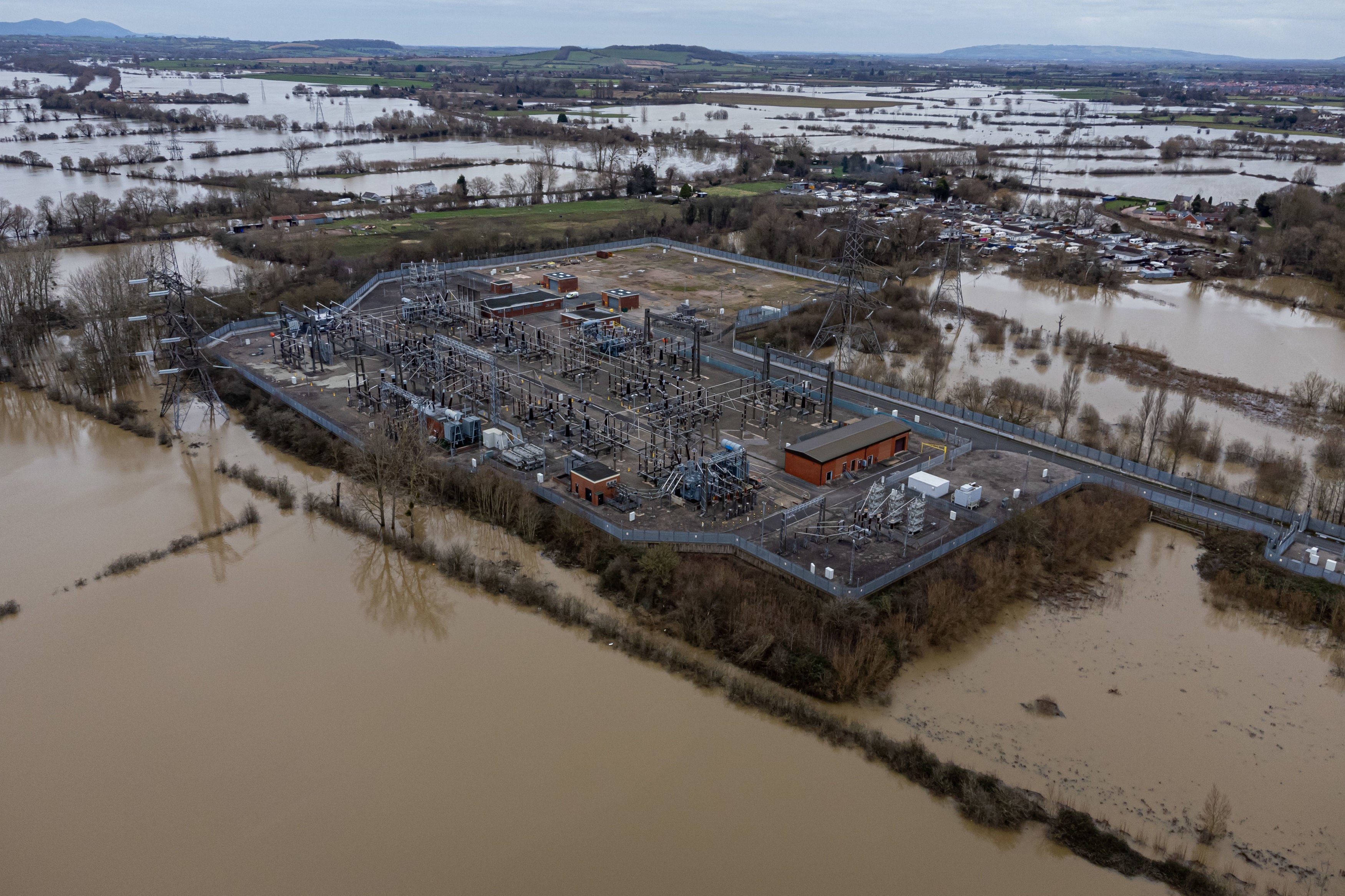
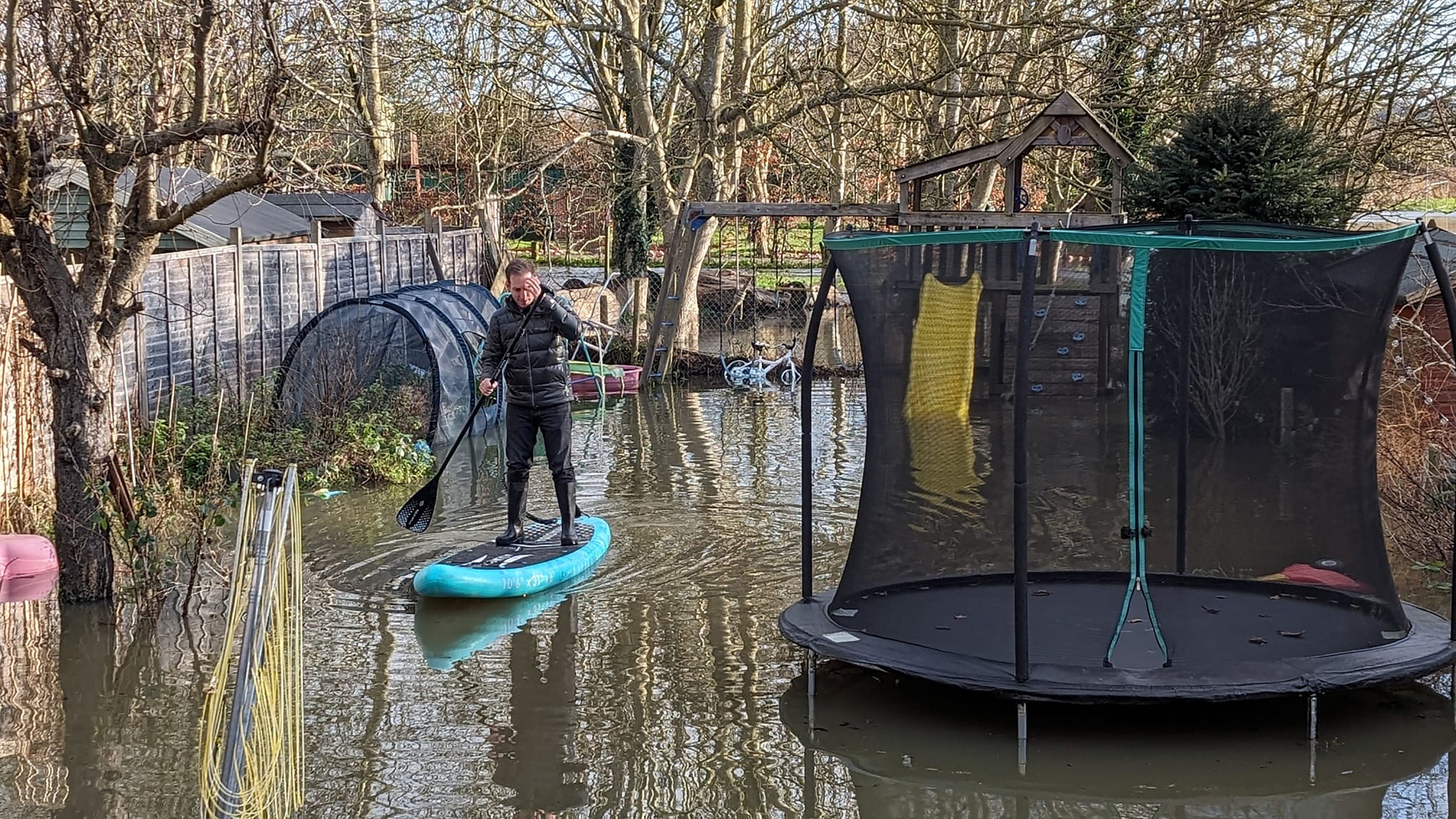
Floods are still expected to affect some regions as water levels rise. It comes as many are communities are still struggling after severe downpours that occurred during Storm Henk.
The Environment Agency said that more than 1,800 properties have already flooded, and more could be affected over the next week.
There are currently 148 flood warnings in place, where flooding is expected, and 159 flood alerts for southern parts of England, up through the Midlands and into Yorkshire.
The impact of high water levels is likely to continue, particularly around the rivers Trent, Severn and Thames, the agency said.
It added that buildings “will flood and there will be travel disruption” during that time period, and local groundwater flooding is also possible in the South of England, Yorkshire and the Humber.
Rishi Sunak sought to defend the government’s record on flood protection as he spoke to the media in front of the fast-moving River Thames on Sunday.
He said: “We have over 1,000 Environment Agency personnel on the ground in local communities helping, over 200 pumps have been deployed.
“We’ve invested £5.2bn in flood defences over the period in question – that’s a record sum, far more than we’ve done (previously); in the future that’s contributed to protecting over 300,000 homes.
“And, of course, there have been many people affected by what’s happened over the past week, but also over 49,000 have been protected from flooding.”
Labour leader Sir Keir Starmer said the government’s record on flood defences is “not good enough” as he toured streets being cleared up after last week’s deluge.
During a visit to Loughborough, Leicestershire, the opposition leader said he would set up a flood resilience task force to make sure preventative measures were in place before the winter flooding season.
Asked if Labour would provide more money for flood prevention, Sir Keir said: “Of course it does need money but the taskforce is not just about money.
“It’s about getting the basics done. Getting those drains cleared. Getting the local authorities together. Having a plan.”
Met Office forecast
Today:
Any early morning fog clearing by midday. Variable cloud with sunny spells for many with the odd wintry shower across the southeast of England. Cold for most, but notably in the south in a fresh northeasterly breeze.
Tonight:
Wintry showers continue across southern parts, clearing westwards. Mostly dry elsewhere, but a widespread hard frost under any clear skies. Remaining cold with freezing fog patches for parts of Scotland.
Tuesday:
Risk of some wintry showers for the southwest in the morning, with the odd shower for northeast England. Elsewhere dry with sunny spells, feeling cold especially in brisk winds.
Outlook for Wednesday to Friday:
Remaining mostly dry and clear, especially in the south. Light rain and drizzle for northern parts, can turn wintry over high ground. Staying cold throughout with temperatures below average.
Additional reporting by PA
Join our commenting forum
Join thought-provoking conversations, follow other Independent readers and see their replies
Comments
Bookmark popover
Removed from bookmarks