Met Office gives verdict on ‘72-hour mini heatwave’ in aftermath of Storm Kathleen
Temperatures will soar to 20C in some parts of the country as the UK is hit by warmer weather over next few days
The UK is set for warmer weather as temperatures soar across the country over the next few days, forecasters have said.
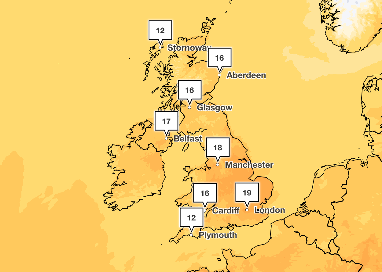
Temperatures are expected to peak on Thursday with a brief period of high pressure bringing spells of 20C in the South East, before cooler air pushes back on Friday, according to the Met Office.
It comes after Britain was hit by winds of up to 70mph and heavy rain as Storm Kathleen moved away from the country earlier this week.
A Met Office spokesperson said: “We are seeing some warmer air moving across the country from the West today, bringing some milder weather to much of the country later today and tomorrow.
“Temperatures are expected to peak tomorrow reaching high teens and maybe 20C in the South East, before cooler air pushes back in from the North West through Friday.”


Average temperatures across the UK in April are usually around 15C, so this is warmer than average for the time of year - but a true heatwave would only be reached if temperatures soared to above 25C in most areas, according to the Met Office.
BBC weather forecaster Helen Willetts added that it would feel warm over the next three days, with bright skies and sunshine expected across the country.
“We might see some brighter skies and sunshine coming through before the next source of rain starts to materialise across western parts again,” she said.
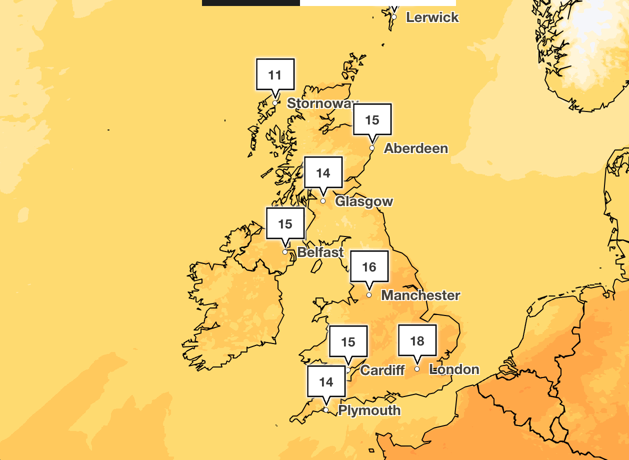
“The warmer Atlantic air is with us through Thursday and indeed Friday to end the week and perhaps even to start the weekend but not full on as we get some colder air starting to dig in behind it.”
On Thursday, the weather will be cloudy in southern areas but skies will brighten with sunny spells and people will feel warm in the sunshine elsewhere, according to the Met Office.
Wind and showery rain is expected across the North and West on Friday and Saturday, with bright and breezy conditions elsewhere.
A look at the weather ahead
Wednesday
A bright, but chilly start for many. However, wet and windy weather already across westernmost areas, will extend eastwards to all parts through the day. The rain will be heaviest in the North West, whilst patchy in the South East.
A band of heavy rain in the northwest will spread southeast across all areas overnight, gradually weakening. Cloudy and damp ahead of it, clearer with patchier rain following. Staying windy.
Thursday
Southernmost areas will have a rather cloudy day with the odd spot of rain. Elsewhere skies will brighten to give sunny spells. Winds slowly easing. Feeling warm in the sunshine.
Friday to Sunday
Friday and Saturday look windy in the North and West with showery rain. Brighter and breezy elsewhere. Bright on Sunday, but blustery showers in the North and West. Turning fresher.
Join our commenting forum
Join thought-provoking conversations, follow other Independent readers and see their replies
Comments
Bookmark popover
Removed from bookmarks