UK weather: Heavy rain, thunder and strong winds with ‘no signals’ for August heatwave
Further wet and windy conditions facilitated by ‘Atlantic mobility’ are set to dominate UK weather this month

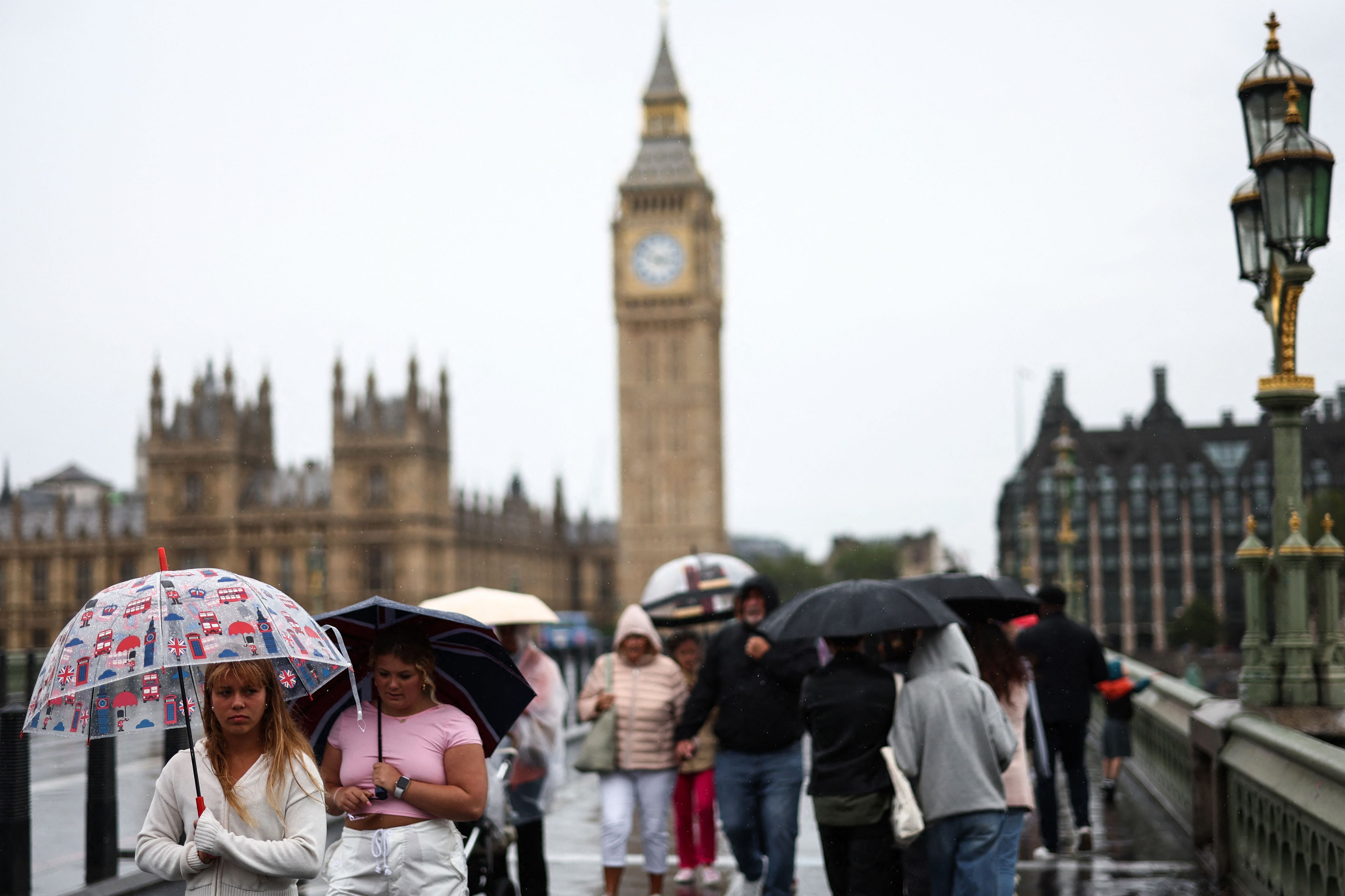
As much of southern Europe remains engulfed by a heatwave, the UK is set to undergo ten more days of rain amidst a washout summer.
The Met Office has warned that as the UK moves into August, further wet and windy conditions are set to dominate.
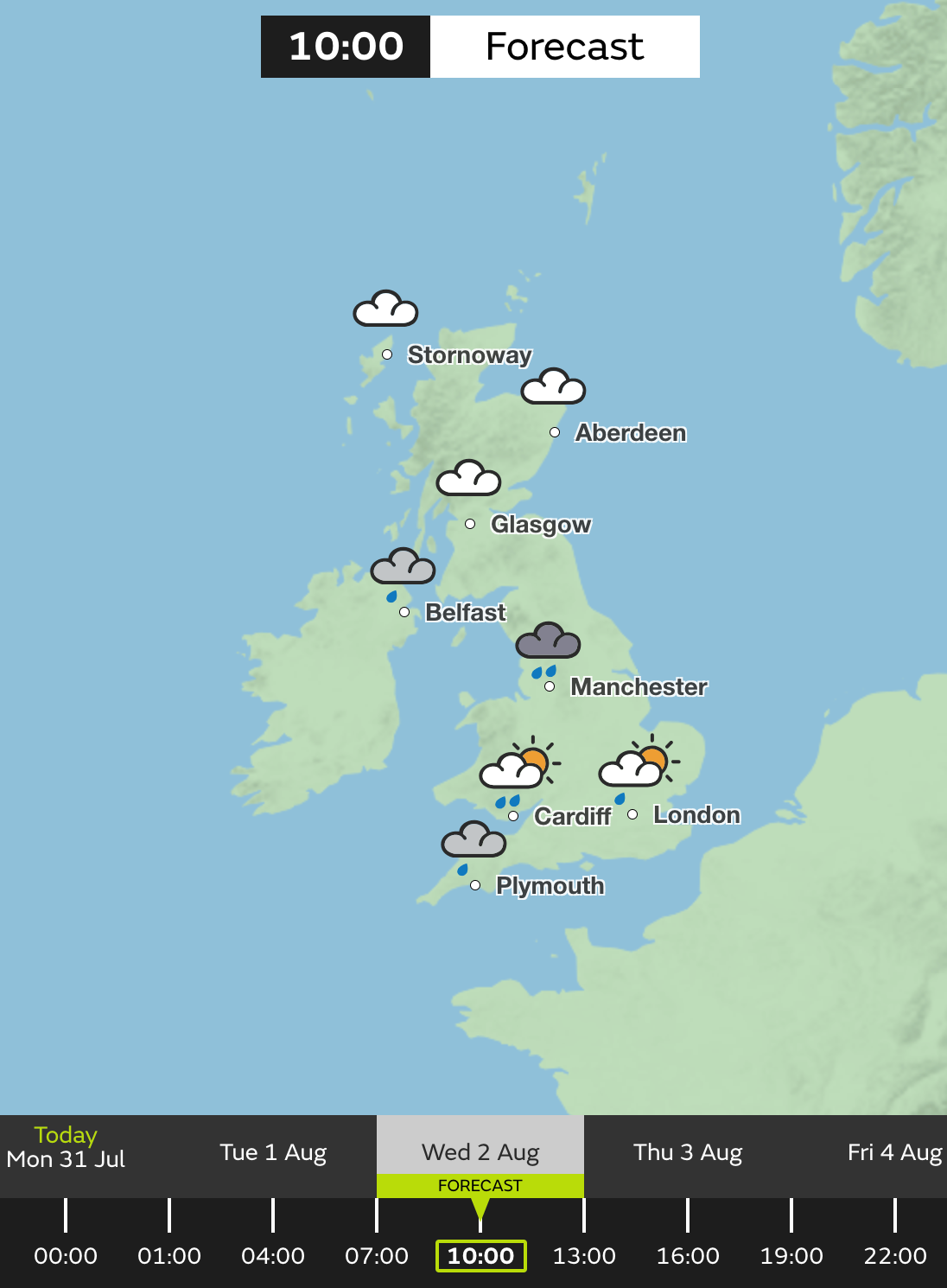
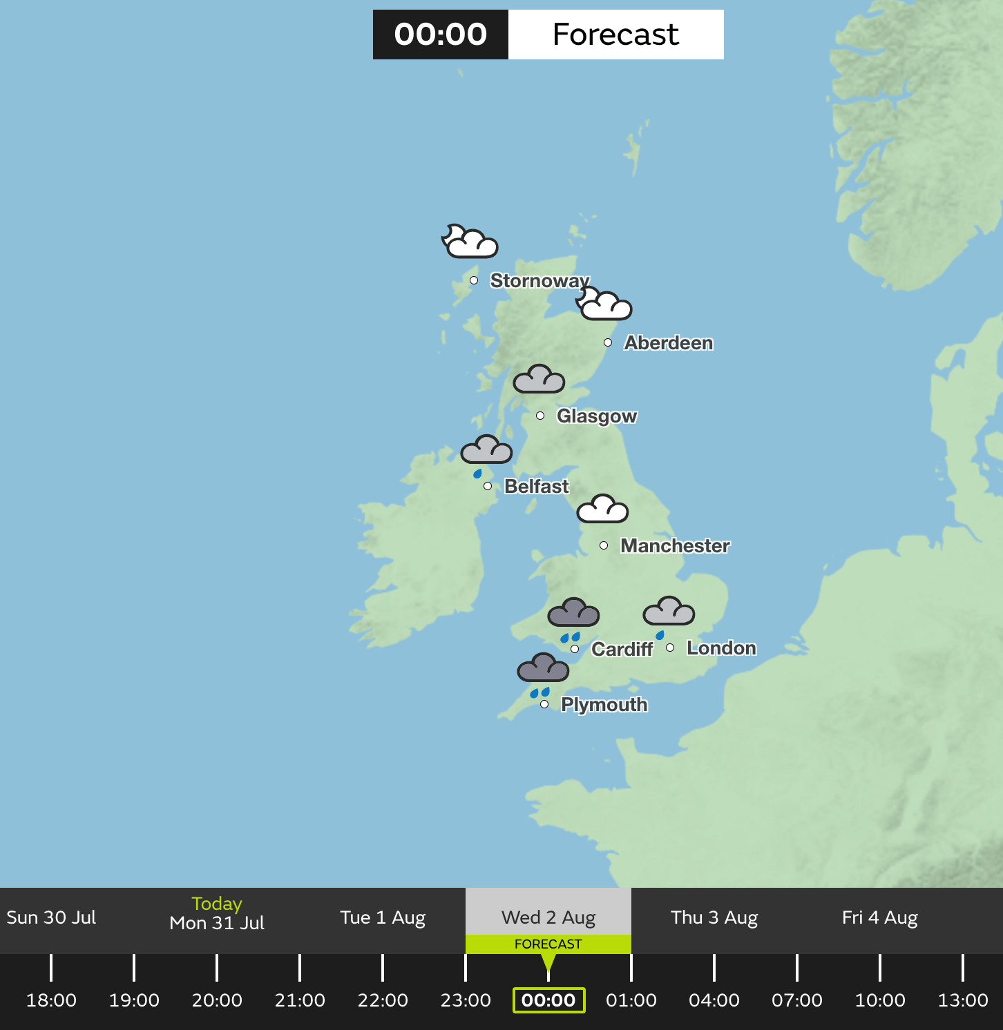
Though Tuesday (1 August) will likely welcome drier conditions for many, a deep low-pressure system is set to sweep across Wednesday and Thursday, accompanied by wet and windy conditions.
This “unsettled regime” is “looking most likely to continue to dominate at least for the first half of the month”, the Met Office added, advising that drier, warmer conditions would be probable later in August.
However, the forecaster said there are “currently no strong signals” for any warmer or more settled weather in August so far.


Met Office Chief Meteorologist Steve Ramsdale, said: “On Wednesday there is a chance of impacts both from rainfall and strong winds. Persistent rain feeding into eastern part of northern England in particular, sees the risk of some surface water flooding.
“There is also the potential for some heavy and thundery showers, which could be slow moving in places with a risk of hail, across central and southern areas. The stronger winds however are more limited to the south coast.
“With the school holidays underway and many families planning outdoor activities the unseasonably strong winds could also have an impact.
“While many coastal areas will see breezy conditions at times through the week, some strong or even gale force winds are possible along coastal areas of the south and south-west through Wednesday in particular.”
Britain’s conditions are a stark contrast to Europe, with devastating wildfires recently engulfing parts of Greece and Italy.
The island of Rhodes has seen 19,000 people evacuated, with Greek authorities describing the response as “the largest evacuation from a wildfire in the country.”
These conditions aren’t set to reach the UK though, which is on the northern side of the jet stream, bringing low pressure. The southern side has developed heat over southern Europe.
Last summer, vast swathes experienced high temperatures that exceeded 40C for the first time, with the highest temperature recorded in Coningsby, Lincolnshire on 19 July 2022 at 40.3C.
“Typically we are to the south of that jet stream and what that allows and what it allowed last summer is for a high pressure to build over the UK, and allows the UK to kind of draw up warmer air from the south”, Met Office spokesman Stephen Dixon explained of recent poorer weather conditions.
“More air was kind of fed in from the equator almost and moved over the UK and so that high pressure, coupled with the time of year it was, allowed that day on day to rise to the UK to that record level of 40.3C. We just haven’t been in that weather pattern this summer.
“It’s down to that jet stream and how it develops weather towards the UK. At the moment, it’s kind of directed towards the UK, which helps to develop these low pressure systems and gives us a bit of a little autumnal-feel for the weather that we’ve seen in recent weeks.”
The Met Office’s five-day UK outlook:
Monday
Rain will slowly clear from Scotland. Elsewhere after some late evening sunshine, showers developing and these may be heavy especially for parts of Wales and central England.
Tuesday
A mixture of sunshine and showers. Heavy showers at first in the south though becoming light and isolated later. Strengthening winds with cloud and rain moving into the southwest later.
Wednesday to Friday:
Unsettled on Wednesday with more persistent rain, showers and stronger winds. A mixture of sunshine and showers to follow on Thursday and Friday. Feeling cool throughout.
Join our commenting forum
Join thought-provoking conversations, follow other Independent readers and see their replies
Comments
Bookmark popover
Removed from bookmarks