UK weather: Met Office predicts how long rain will last before heatwave begins
High pressure may become more dominant later in the month increasing likelihood of ‘above-average temperatures’

The UK is set to experience a few more days of rainy weather before scorching temperatures arrive, according to the latest forecast by the Met Office.
While parts of the country are currently experiencing wet conditions, the Met Office predicts that the rainy spell will persist for a little longer before giving way to more sunny spells and possibly heatwaves.
While conditions have been hot and humid for large parts of the country, as we move into July there is a higher likelihood of “above normal” temperatures, according to the predictions.
Tuesday night was mostly warm and muggy in cities as sub-tropical air moved into the country, taking temperatures up to the high teens.
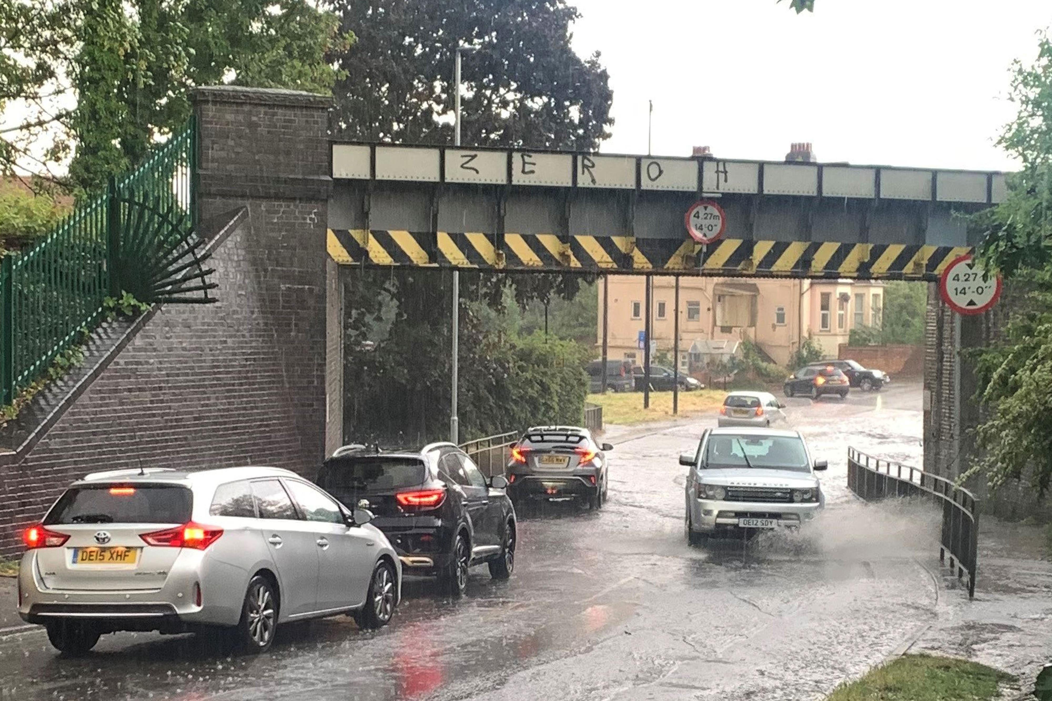
On Wednesday, heavy rain will continue as it moves eastwards while southeastern areas are expected to remain mostly dry.


A low pressure system is moving close to Iceland, creating a “warm sector” over the UK, Met Office meteorologist Alex Deakin said.
“Most [of the UK] will start dry on Wednesday, but it won’t take long before some rain crosses through Northern Ireland and southern Scotland,” Mr Deakin said, adding that this low pressure weather front could be “quite active during the day”.
“With the humid air, there is potential for some heavy, even thundery downpours across parts of England and Wales, while Scotland and Northern Ireland will turn a bit drier after that initial rain, with a mixture of bright spells and showers.
Northern Ireland and Scotland will experience brighter and fresher conditions after the passage of the rain band, Mr Deakin added, while scattered showers are forecasted for the Western Isles.

Britons will begin to see drier and brighter conditions from Thursday, starting from the west as potentially heavy rain will clear southeast across England and temperatures climb up to near normal.
The weather is expected to feel fresher in the coming days as compared to the humid conditions experienced recently as air from the Atlantic moves into the UK, the forecaster said.
On Thursday, the Met Office says large parts of the UK can expect dry weather with longer clear spells but a fragmented band of rain will continue moving east across England and Wales, intensifying after midnight with the possibility of heavy bursts.
As we enter July, the weather is expected to remain changeable in the first half, the Met Office says.
The period will bring a combination of sunny spells, rain, and scattered showers, with a higher likelihood of thundery showers in northwestern regions.
Strong winds, potentially reaching gale force, are anticipated in northern areas, while more moderate breezes are expected elsewhere.
Temperatures will be around average for mid-summer for the initial days, possibly slightly warmer in the south and cooler in the north. These conditions are projected to continue, with the south and east likely to experience the driest weather, while the north and west may face heavier and more frequent rainfall and showers.
However, there is also a possibility of showers and thunderstorms occurring in the south and east. Temperatures are expected to remain close to average, although wetter areas may feel cooler.
Looking ahead to the second half of July, high pressure may become more dominant, potentially leading to fairer conditions, the forecaster says. However, rainfall, including heavy showers and thunderstorms, remains possible throughout the country.
The likelihood of “above-average temperatures” is stronger during this period, increasing the possibility of heatwaves, the Met Office said.
At present there is no indication of exceptional heat during this timeframe, the forecaster says, clarifying reports of multiple heatwaves hitting the UK.
Meanwhile, this June is on track to become the hottest June on record in the UK since the records began in 1884, driven partly by worsening climate crisis and record-breaking temperatures globally.
Despite the forecast showing a return to average temperatures in the coming days, June 2023 is expected to surpass the previous record set in 1940. The current second warmest June on record is from 1976.
This comes after the UK experienced scorching 32C temperatures with a heatwave declared in parts of the country in the early days of June. The sweltering heat sparked heat health alerts and left schools shut with taps running dry.

“With only a few days of near-average temperatures forecast for the remainder of the month, overall this June will turn out to be provisionally the hottest June on record for the UK for both mean and average maximum temperature,” Mike Kendon, meteorologist from the Met Office, said.
“What has been particularly unusual is the persistent warmth for much of the month, with temperatures reaching 25C widely for at least a fortnight, and at times 28 to 30C – whereas we would more typically expect maximum temperatures in the high teens or low 20s at this time of year.”


The Met Office also highlighted the impact of the climate crisis, stating that it increased the frequency and intensity of warm weather events in the UK.
“While the UK has always had periods of warm weather, what climate change does is increase the frequency and intensity of these warm weather events, increasing the likelihood of high temperature records being broken, like we saw for 2022’s annual temperature for the UK,” Mr Kendon said.
Join our commenting forum
Join thought-provoking conversations, follow other Independent readers and see their replies
Comments
Bookmark popover
Removed from bookmarks